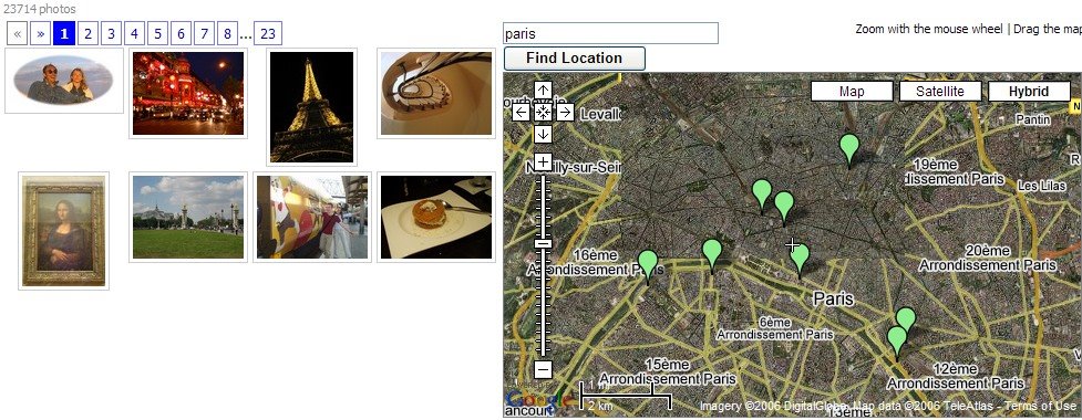
You've always wanted to see the world. Panoramio lets you see photos from all around the world on a map. You just have to select a location (like your favorite holiday destination) and you'll see pictures from there located on the map.
Panoramio lets you upload up to 2 Gb of photos in their original size and quality and label them with the place they were taken and some tags. This way, you can upload pictures from your trips and see other people's perspectives on the same places.
Panoramio photos can be viewed in Google Earth too if you download a KML file.
Also see:
Picasa Web Albums (Picasa also has geotagging)
Change the world with Google Earth 4
Google Earth reveals Iran's nuclear sites

Thanks for your post about Panoramio, I'm glad you like it. By the way, if you geotag photos with Picasa and later upload them to Panoramio they are located automatically in the right place.
ReplyDeleteWe are now using Flickr and Google Maps on http://www.map-runner.com. Users can create, find, save and share their routes and then see what sights are in the area using photos from Flickr.
ReplyDeleteI added photos to Panoramio but they are not showing up in Google Maps. Why are they not available?
ReplyDelete