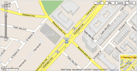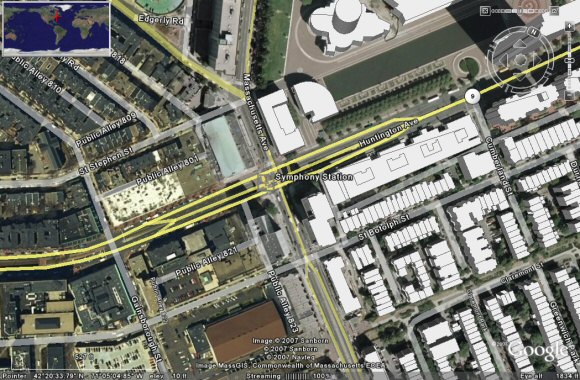
This is, in fact, Google Earth's building layer. To see it, go to the layers sidebar and enable "3D buildings".

Google Earth's layers contain a lot of useful information that enhance the satellite imagery: road names, airports, parks, populated places, pictures and more. The cool thing is that they reside on Google's servers, so you don't need to update Google Earth to see new information. Google Maps could become much more useful if it included these overlays.

google messages is there a layer to see all the notes people have left to be captured on GE? I saw a guy mowed into his lawn his email?
ReplyDeleteVirtual Earth (VE) has the same feature. In fact, I'd be willing to bet that VE had it first, so now Google is playing catchup to Microsoft, right?
ReplyDeletehttp://maps.live.com/default.aspx?v=2&cp=35.674485~139.745708&style=r&lvl=14&tilt=-90&dir=0&alt=-1000&encType=1
Also, check out the sweet rendering of Seattle's Space Needle in Google Earth. Not exactly impressive.
http://maps.google.com/?ie=UTF8&z=18&ll=47.620708,-122.349066&spn=0.001699,0.003943&om=1
The feature war is a rather silly game, isn't it?
I noticed Google added a few new layers, zoom levels 0, -1, and -2. Now I see why they did that. Excellent.
ReplyDeleteGo to www.emporis.com to find the information for each building you see on Google Maps. Unforunately the Emporis data is not yet linkedt to Google Maps, hopefully this happens in the future!
ReplyDelete