The Telegraph reports that terrorists from Iraq use Google Earth "to pinpoint their attacks".
The satellite photographs show in detail the buildings inside the bases and vulnerable areas such as tented accommodation, lavatory blocks and where lightly armoured Land Rovers are parked.
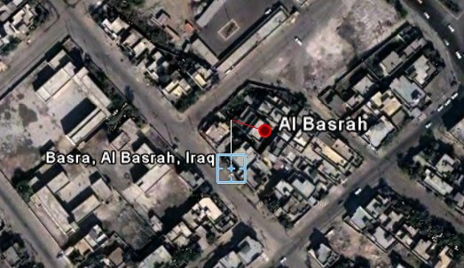
Written on the back of one set of photographs taken of the Shatt al Arab Hotel, headquarters for the 1,000 men of the Staffordshire Regiment battle group, officers found the camp's precise longitude and latitude.
"This is evidence as far as we are concerned for planning terrorist attacks," said an intelligence officer with the Royal Green Jackets battle group. "Who would otherwise have Google Earth imagery of one of our bases?"
Google Earth's imagery is not very recent, as sometimes images are two or three years old, but even those images can be useful. Google already blurs the US Congress, vulnerable places from Israel, and other sensitive sites.
As Google Earth starts to include more high-resolution images, these requests will be frequent. Some will say Google Earth's censorship is necessary, but it's difficult to draw the line between the accessibility of public information and security risks. Google search can also reveal vulnerabilities and confidential documents.
Military troops should be prepared to face more knowledgeable enemies, because those who want to get satellite imagery or other kinds of information will get them, even if they have to pay for that.
Homework:
1) Do you think it's OK to censor Google Earth's imagery?
2) Do you know other famous places that appear blurred in Google Earth?

IBM in Poughkeepsie seems oddly blurred. ONLY the site and parking areas, but everything around it is in the highest resolution available.
ReplyDeleteThese concerns have existed for a while now. Conversely, Google Earth has also been shown to be a tool for social activism. And, I'd be remiss not to point out that there are legitimate privacy concerns with the rise of satellite imaging as well...
ReplyDeleteThere are positive and negative side of any software. Google earth is really a revolutionary tool. Google earth doesn't display real time images so hardly a tool for any malpractices. On the positive side Google earth is a great tool to explore the places and now even have links with Wikipedia the free encyclopedia. All these are quite interesting. I shall be thankful if google will allow satellite images loaded from the local disk instead or from the google servers that significantly speed up the GIS work so one need not to depend on poor internet connection especially from the developing nations.
ReplyDeleteIf you search for Area 51 it will take you there and the images are good quality.
ReplyDeleteDanny.
Something hits my mind. What'll happen if a group of terrorists bomb Google office at Mountain View. Will all the Google data (such as email, adsense, blogger, etc) disappear?
ReplyDeleteThat's frightening, isn't it? And Google office is one of the high-resolution image in Google Earth.
This is silly: you're worried about the flow of information instead of the availability of weapons? Get your priorities straight.
ReplyDeleteThese images are often years old ... what sort of wimps are we breeding? The US of A spends billions of dollars to get spy satellites and spy planes over 'the enemy' and then freaks out when the enemy manages to get a hold of some 2-year-old photos? God forbid that we ever go to war against competent fighters with good intelligence.
Those images don't appear to be blurred at all to me. I checked both Google maps and earth.
ReplyDeleteIf we allow the terrorists to take public information away from us then they are winning. Frankly, they are going to use any info they can. They just need to remember if they mess with us they are gonna get their ass beat.
It's sad that the Gov. even bothers censoring that. It's not like its going to stop them from doing what they do. My high school even stopped printing maps for the students to find their way around campus last year. They considered it too much of a "security risk".
vulnerable places in Israel? such as their nuclear warhead facilities?
ReplyDeleteare Iranian sites blotted out, too?
this is outrageous.
forget all the terrorists - tell the UKers to go back home. problem solved. Blair belongs in jail.
I think protecting valuable areas from terrorists is required but as always, who is to decide which piece of land is to be declared as 'strategic' ? Military areas ? Schools ?
ReplyDeleteAs always, we will soon see governments listing all the areas to be wiped from Google Earth arbitrary (i.e US will remove all sensitive areas in the US, Israel will remove all its territory...).
I would agree with some form of censorship but the way to list the censored areas is to be defined ...
Good one, now you can zoom in on the Bush Family compound, you couldn't 2 years ago...
ReplyDeleteabsurd thought -
God of the Universe says
spy on everybody
let anyone do it
give terrorists an edge
.